Agriculture
Aerial Crop & Livestock Monitoring | North Wales
Key Benefits
Provides fast, efficient crop and livestock insights using drone-based precision technology.
Supports decision-making across the entire growing season, from emergence to pre-harvest.
Operational Advantages
Enhances accuracy in planning, management, and drainage assessment for future seasons.
Reduces environmental impact and operating costs compared to traditional methods.
Unique Value
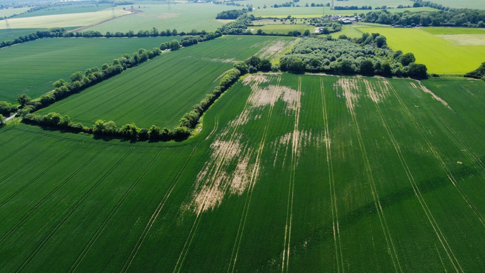
Aerial views reveal issues not visible from ground level, offering transformative insight for farmers.
Beneficial Feedback — Summary
Crop Growth Insights
-
Drones provide a holistic, high-resolution overview of crop development.
-
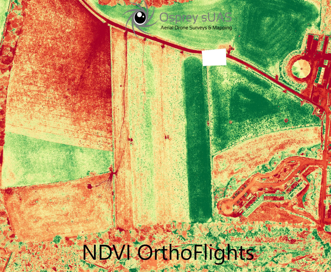
VARI vegetation index imagery offers an affordable and accurate starting point for identifying early crop issues.
-
Supports agronomists and agricultural professionals in assessing crop vigour across multiple growth stages.
Efficient, Cost-Effective Analysis
-
VARI enables targeted field monitoring without the immediate need for costly multispectral or hyperspectral imaging.
-
Helps prioritise areas requiring attention, improving efficiency and reducing unnecessary resource use.
Thermal Imaging Capabilities
-
Thermal drones detect subtle temperature variations, helping identify irrigation problems and supporting precision agriculture.
-
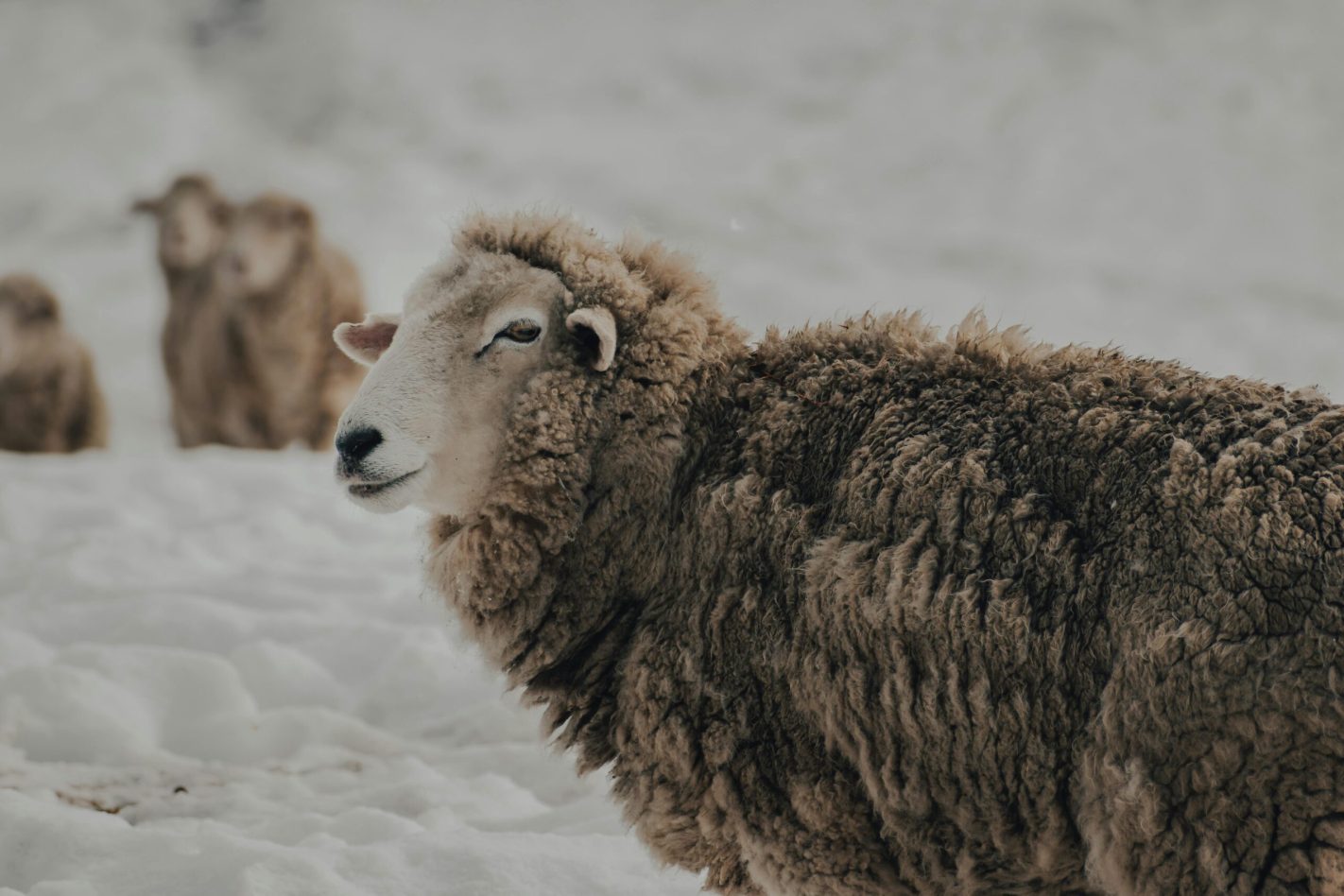
Highly effective for locating livestock during escape incidents or challenging weather conditions such as deep snow.
-
Provides faster, more accurate search results compared to traditional ground-based methods.