
Environment
Environmental Drone Surveys & Monitoring | North Wales


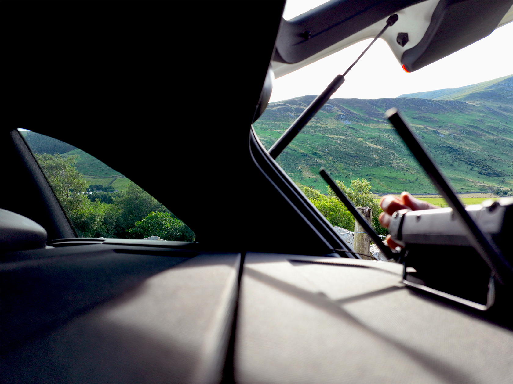
Aerial Overview of Areas of Environmental Interest
Professional Drone Surveys for Environmental Monitoring & Assessments.
Environmental conditions can shift quickly — from natural erosion to illegal waste disposal, unauthorised land activity, or even positive improvements in land management. Reliable information is essential for understanding what’s happening on the ground.
Osprey sUAS delivers that clarity from above.
The Challenges You Face
Traditional ground-based data collection often struggles with:
-
Hard-to-reach or hazardous terrain
-
Budget limitations
-
Poor ground weather conditions
-
Health & safety restrictions
-
Trespassing concerns
-
Tight project deadlines
-
High costs of manned aircraft
These challenges make accurate and timely environmental monitoring difficult, slow or impractical.
Our Aerial Solution
Osprey sUAS provides immediate and periodic aerial monitoring that delivers clear, high-quality, and actionable data — safely and efficiently.
What We Provide
-
High-resolution still imagery
-
Hi-Res 2D measurable models
-
Hi-Res 3D Models to share & discuss
-
UHD video for detailed analysis
-
Thermal imagery to detect heat sources, leaks or environmental hazards
-
Access to otherwise inaccessible areas
-
Minimal-to-zero environmental impact
-
Fast deployment and rapid results
Our drone systems take you directly to the core of the issue, revealing the full extent of environmental impact and helping you understand conditions with unmatched precision.
Why Environmental Consultants Trust Us
Environmental work depends on accurate, dependable data. Our aerial surveys enhance your ability to:
-
Monitor environmental change over time
-
Identify risks earlier
-
Improve survey accuracy and efficiency
-
Reduce costs associated with traditional inspections
-
Minimise disruption to sensitive sites
-
Meet compliance and reporting requirements
With Osprey sUAS, you gain clear visual evidence that supports informed decision-making and strengthens your reporting.
Efficient, Safe & Cost-Effective
Whether you require a one-off aerial inspection or a structured long-term monitoring programme, Osprey sUAS provides a professional, compliant and reliable service designed around your operational needs.
Ready to Enhance Your Environmental Insight?
Contact Osprey sUAS today to discuss your project and discover how our aerial surveys can support your environmental objectives.


Our Value & Capabilities
Osprey sUAS delivers high-quality data with exceptional speed and efficiency. Our drone systems can survey over 100 acres per hour in very high detail, providing rapid access to the critical information you need.
For urgent projects, processed imagery and data can be delivered within the hour, with standard delivery typically available by the next working day. All outputs include the essential metadata required for professional environmental reporting and analysis.
Our aerial imagery offers far greater clarity and accuracy than most, or free satellite platforms, ensuring you receive current, high-definition, up-to-the-hour data that supports confident decision-making.
When you need precise, reliable and project-friendly environmental insights with minimal carbon footprint, Osprey sUAS provides a fast, safe and cost-effective solution.
Aerial Overview of Areas of Environmental Interest
Professional Drone Surveys for Environmental Monitoring & Assessments.
Environmental conditions can shift quickly — from natural erosion to illegal waste disposal, unauthorised land activity, or even positive improvements in land management. Reliable information is essential for understanding what’s happening on the ground.
Osprey sUAS delivers that clarity from above.
The Challenges You Face
Traditional ground-based data collection often struggles with:
-
Hard-to-reach or hazardous terrain
-
Budget limitations
-
Poor ground weather conditions
-
Health & safety restrictions
-
Trespassing concerns
-
Tight project deadlines
-
High costs of manned aircraft
These challenges make accurate and timely environmental monitoring difficult, slow or impractical.
Our Aerial Solution
Osprey sUAS provides immediate and periodic aerial monitoring that delivers clear, high-quality, and actionable data — safely and efficiently.
What We Provide
-
High-resolution still imagery
-
Hi-Res 2D measurable models
-
Hi-Res 3D Models to share & discuss
-
UHD video for detailed analysis
-
Thermal imagery to detect heat sources, leaks or environmental hazards
-
Access to otherwise inaccessible areas
-
Minimal-to-zero environmental impact
-
Fast deployment and rapid results
Our drone systems take you directly to the core of the issue, revealing the full extent of environmental impact and helping you understand conditions with unmatched precision.
Why Environmental Consultants Trust Us
Environmental work depends on accurate, dependable data. Our aerial surveys enhance your ability to:
-
Monitor environmental change over time
-
Identify risks earlier
-
Improve survey accuracy and efficiency
-
Reduce costs associated with traditional inspections
-
Minimise disruption to sensitive sites
-
Meet compliance and reporting requirements
With Osprey sUAS, you gain clear visual evidence that supports informed decision-making and strengthens your reporting.
Efficient, Safe & Cost-Effective
Whether you require a one-off aerial inspection or a structured long-term monitoring programme, Osprey sUAS provides a professional, compliant and reliable service designed around your operational needs.
Ready to Enhance Your Environmental Insight?
Contact Osprey sUAS today to discuss your project and discover how our aerial surveys can support your environmental objectives.
Our Value & Capabilities
Osprey sUAS delivers high-quality data with exceptional speed and efficiency. Our drone systems can survey over 100 acres per hour in very high detail, providing rapid access to the critical information you need.
For urgent projects, processed imagery and data can be delivered within the hour, with standard delivery typically available by the next working day. All outputs include the essential metadata required for professional environmental reporting and analysis.
Our aerial imagery offers far greater clarity and accuracy than most, or free satellite platforms, ensuring you receive current, high-definition, up-to-the-hour data that supports confident decision-making.
When you need precise, reliable and project-friendly environmental insights with minimal carbon footprint, Osprey sUAS provides a fast, safe and cost-effective solution.

