Professional Drone Surveys, Inspections & Thermal Services | North Wales
Osprey sUAS Drone Surveys, Thermal, Mapping & Inspections.
• Drone Aerial Photography & Videography
• Drone Property Surveys/Inspections
• Drone Site Surveys/Inspections
• Drone Thermal Imaging
• Drone Roof Surveys/Inspections
A fleet of 5 drones, including thermal imaging. Fully CAA compliant, approved and insured for up to £10M with pre-approval to £20M.
SafeContractor Approved, and Award Winners Wales 2020-2025.
We at Osprey sUAS, provide cater to clients across North Wales and the United Kingdom, taking pride in delivering exceptional aerial imagery and videography for a variety of industries, including:
• Home Owners/Private Individuals
• Property Managers
• Residential & Commercial Real Estate
• Local Authorities/Regional Services
Drone Inspections/Surveys are more affordable, quicker and pose minimal to zero health & safety risks, all captured in hi-resolution imagery and high-definition video footage from above, offering a bigger picture of what's going on, and all without the cost and time of hiring a scaffolding or Cherry Pickers.
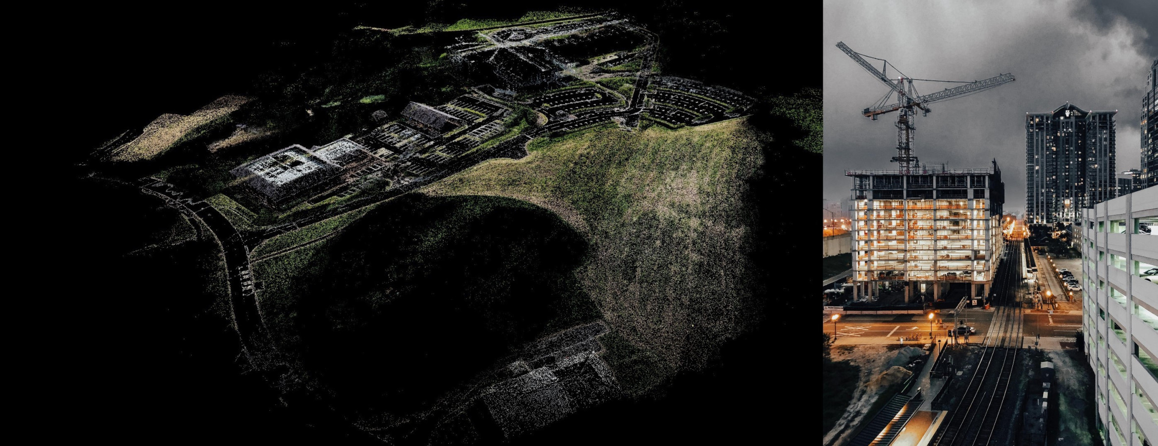
We continue to work predominantly with building and construction companies on multi-million-pound projects; from pre-planning, weekly or monthly updates, through completion, providing high-resolution aerial photography and/or edited HD video to document the project’s progress, as well as a final product portfolio shoot.
This service keeps clients up to date on the status of a construction project, and in turn affords key stakeholders speedy updates from often widespread offices, negating the need for frequent, lengthy & costly travel to sites across North Wales.
Our thermal imaging services can help in monitoring heat loss and abnormal heat signatures, which can also help identify water leaks or electrical faults.
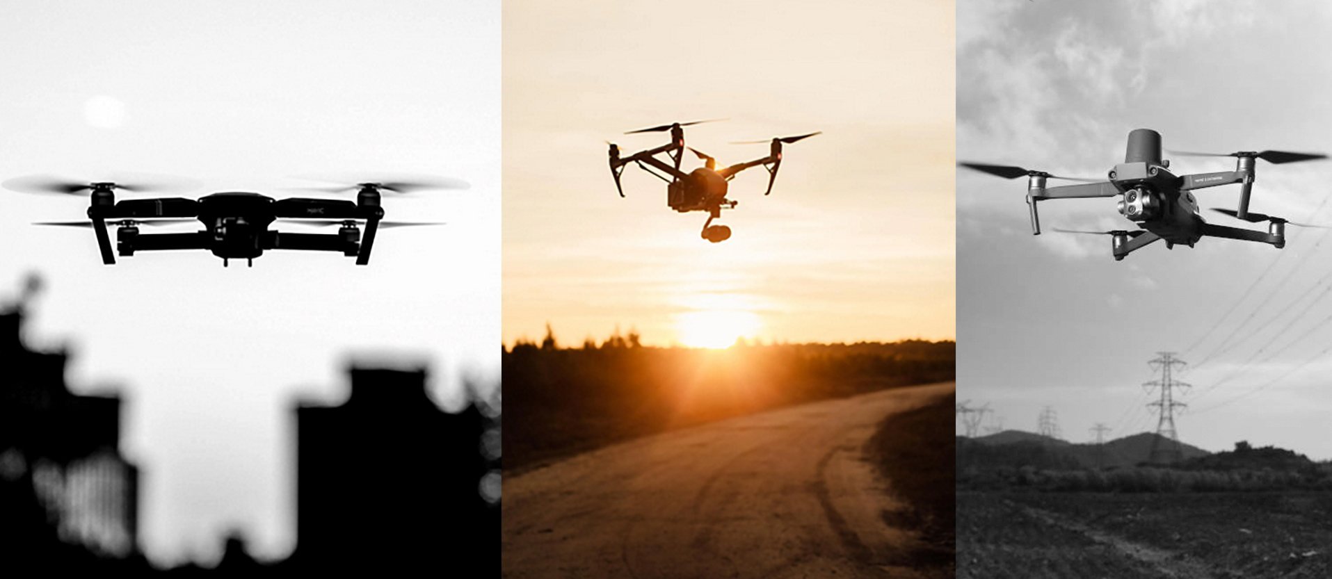
Aerial photography has never been more cost-effective, and Osprey sUAS use high-specification drones with the latest technology & software to achieve the perfect imagery for you.
In Conclusion...
Osprey sUAS delivers high-quality drone surveys and inspections across North and Mid Wales, providing clear, actionable aerial data to support confident decision-making throughout the lifecycle of a project.
We support contractors, engineers, and property professionals with:
-
Roof and structural inspections
-
Aerial surveys and progress reporting
-
RTK drone mapping and photogrammetry
-
Thermal imaging and environmental monitoring
All data is captured safely, efficiently, and with high precision.
We provide engineer-ready outputs, including volumetric analysis and CAD, BIM, and GIS-compatible file formats, ensuring seamless integration into your existing workflows.
Homeowners who want a clearer view of roof damage, storm impact, damp ingress, or general property condition without needing intrusive access methods, will receive Hi-Res imagery and/or 4k video.
At Osprey sUAS, we are dedicated to meeting the diverse needs of our clients in the public and private sectors. Our expertise in aerial drone services is complemented by our unwavering commitment to safety and professionalism.
Our commitment to quality and attention to detail ensures that you, our clients, receive the highest standard of visual content for your projects and a unique perspective for property sales, holiday lets and showcasing project completion.
Contact us today to discuss your project requirements and learn how our cutting-edge drone technology can elevate your vision.